Lansing GIS Hub

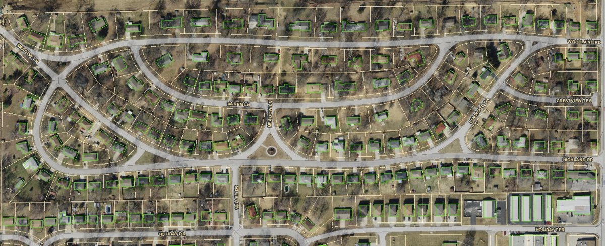
Welcome to the Lansing GIS Hub. This is the online source for the GIS information maintained by the City of Lansing.
Click here to explore: gis.lansingks.org
For further information regarding this data contact:
Kelly Hanne
GIS Technician
This information is presented in coordination with the Leavenworth County GIS department. Base information that is maintained by LVCO can be found here: Leavenworth County GIS Webmap
